Five years ago, aerial photography was a premium add-on that only the most expensive luxury listings could justify. Today, it's become a baseline expectation for any property marketed above $500,000, and a critical differentiator for developments, commercial properties, and luxury residential listings competing in visually sophisticated markets.
Market Adoption
78% of real estate agents in markets above $500K now use drone photography as standard practice, up from 24% in 2020. Properties with aerial imagery receive 68% more listing views than those without.
Why Aerial Photography Has Become Essential
The transformation has been driven by advances in drone technology (smaller, more capable aircraft), more accessible commercial drone regulations, and a market-wide increase in visual marketing standards. But the most significant driver has been results: properties marketed with professional aerial photography consistently outperform those without across time on market, web engagement, and final sale price.

Five Marketing Purposes of Aerial Real Estate Photography
For real estate, aerial photography serves several distinct marketing purposes, each addressing different buyer questions and concerns.
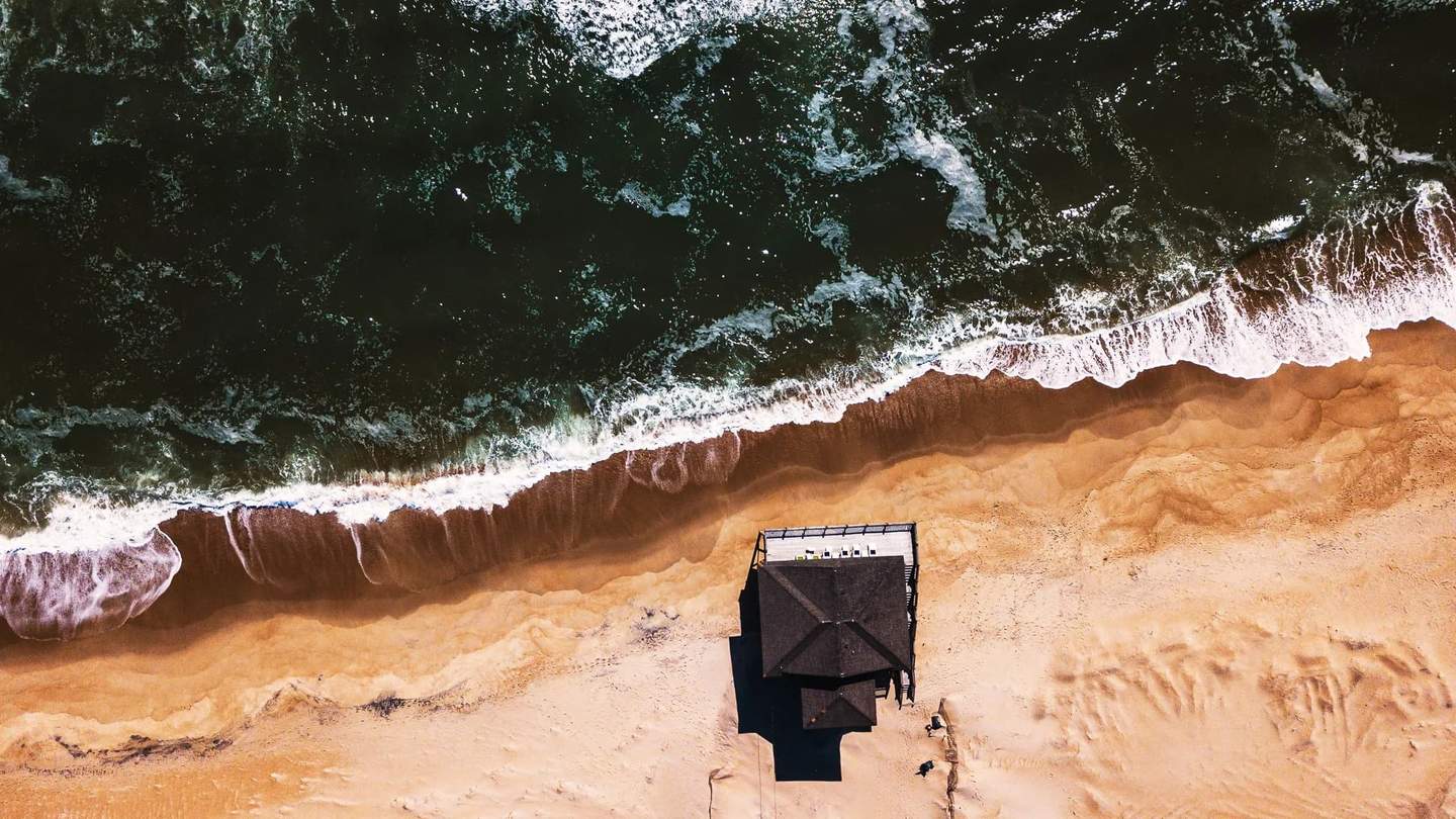
1. Context and Location
Aerial imagery shows a property's relationship to its surroundings: proximity to water, golf courses, commercial centers, and transportation. For waterfront properties in South Florida, this context is often more valuable than the ground-level photographs, as it communicates the full scope of the waterfront position, dock access, and ocean proximity.
2. Scale and Scope
Scale imagery communicates the size of a lot, the footprint of a building, or the scope of a development in ways that ground-level photography cannot. For large estates, acreage properties, and multi-building developments, aerial photography is the only way to effectively communicate the true scale of the offering.
3. Property Condition
Condition documentation reveals roof condition, landscaping quality, and site layout from an objective overhead perspective. For buyers' agents and inspectors, aerial imagery provides valuable pre-visit information that can accelerate the decision-making process.
4. Construction Progress Documentation
Construction progress documentation has become one of the most valuable applications of aerial photography. Monthly or milestone-based aerial documentation provides developers, investors, and lenders with an objective bird's-eye view of project progress.


"When combined with consistent camera positions and shooting schedules, aerial progress series become powerful communication tools that reduce investor anxiety and keep stakeholders informed throughout the development lifecycle."
5. Marketing Differentiation
In competitive markets, aerial photography is a differentiator that signals premium marketing, and by extension, a premium property. Listings without aerial imagery increasingly appear incomplete or underfunded in the eyes of discerning buyers and their agents.
Technical Expertise: Beyond Flying a Drone
The technical requirements for professional aerial photography go beyond simply flying a drone and pressing the shutter button. Compositional skills that work at ground level must be adapted for elevated perspectives.
- Compositional adaptation: leading lines become road patterns, horizon placement becomes critical
- Light management: understanding how natural light reads from above vs. ground level
- Lens distortion: compensating for wide-angle distortion inherent in most drone camera systems
- Flight path planning: optimizing for both regulatory compliance and compositional quality
- Altitude selection: matching elevation to subject (too high flattens perspective, too low limits context)
- Weather assessment: wind speed, cloud cover, and atmospheric haze all affect image quality
Regulations and Legal Compliance
Legal compliance is non-negotiable. Commercial drone operations are governed by a combination of federal regulations, local municipal ordinances, and controlled airspace restrictions near airports. Working with a properly insured aerial photography provider protects both the property and the marketing team from liability.
In Miami-Dade County specifically, much of the county falls within controlled airspace due to Miami International Airport, Opa-Locka Executive Airport, and Fort Lauderdale-Hollywood International Airport, making proper airspace authorization essential for any legal commercial flight.
The Future: Video, Virtual Tours, and Interactive Mapping
Looking ahead, the integration of aerial photography with video, virtual tours, and interactive mapping is creating increasingly immersive property marketing experiences. Drone footage that transitions seamlessly from an aerial approach into a ground-level walkthrough, or aerial stills that link to interactive neighborhood maps, represent the next evolution in how properties will be marketed.
- Aerial-to-interior video transitions that create cinematic property tours
- Interactive aerial maps with clickable points of interest and neighborhood amenities
- 360-degree aerial panoramas that let buyers explore the surrounding area virtually
- Time-lapse aerial construction documentation for development marketing
- Aerial twilight photography combining drone perspectives with golden-hour lighting

Whether you're marketing a single luxury listing, documenting a construction project, or building a visual marketing strategy for an entire development, aerial photography is no longer optional; it's essential. Let's discuss how professional drone imagery can give your properties the competitive edge they need.
Tags